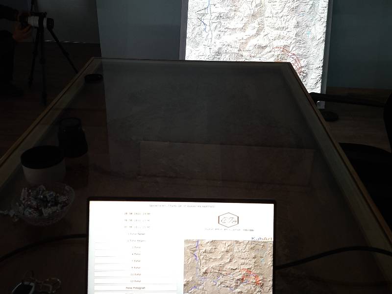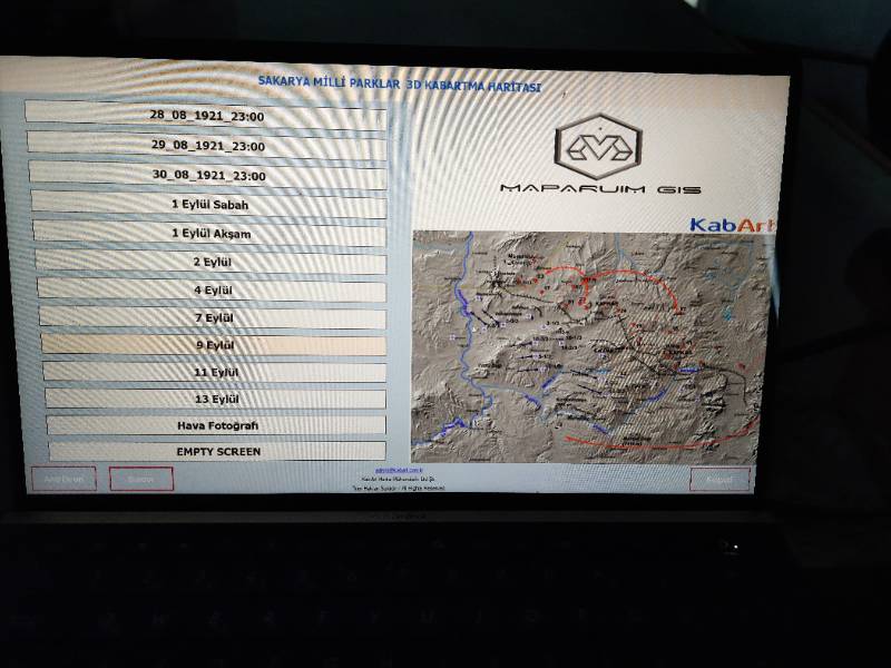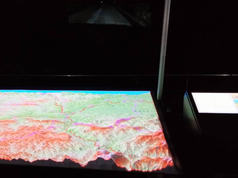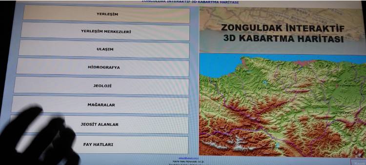
Dynamic Mapping System
Dynamic Mapping System provides dynamic mapping on the terrain model of the desired region and simulation on the model.
Dynamic Mapping System was developed for Special Forces to use instant terrain information on the terrain model in military operation areas, but it is also in demand by Museums and Municipalities due to a new perspective it brings to map visual display.

Dynamic Mapping

Simulation